Guaynabo, Puerto Rico
(gwei-NAH-bo)
Guaynabo is known as "Capital del Deporte" (capital of the sport). Puerto Rico's first settlement, Caparra, was founded in the area in 1508 by Juan Ponce de León. Guaynabo derives its name from a Taino Indian term which means "lugar de aguas dulces".
The Caparra Ruins Historical Museum & Park, the first Spanish settlement on Puerto Rico (1508), includes the remains of explorer Juan Ponce de León's residence.
Guaynabo is located in the northern coast of the island, north of Aguas Buenas; south of Cataño; east of Bayamón; and west of San Juan.
Economy
Fruits are the principal crops grown in the surrounding rural area.
Notable People
There are many well-known "guaynabeños", among them:
- politician Román Baldorioty de Castro
- Jose R. Carazo
- Jose Pepito Bonano
- Cesar Lopez
- Lidio Cruz Moclova
- Aurelio Maldonado
Restaurants
- Baby Bull Steakhouse (American), (787) 783-8927
- Bottles (Steak), (787) 775-1210
- Burbuja's Cafe (Puerto Rican), (787) 789-2167
- Casa Lazaro (Spanish), (787) 720-1177
- Chili's Grill & Bar (Guaynabo) (American), (787) 774-0295
- Churrasqueria y Pasta Chimichurri (Argentine), (787) 449-1059
- City Buffet (International), (787) 720-3688
- Iche's International Cuisine (International), (787) 782-6910
- Nina's (Italian), (787) 287-1785
- Park Avenue Cafe (American), (787) 277-0791
- Paya (International), (787) 782-7292
- Puerto Esmeralda (Sea Food), (787) 720-8656
- Reggio Pizza (Pizza), (787) 277-0677
- Tacolandia (Mexican), (787) 789-0303
Festivals and Events
- Carnaval Mabo - February
- Ciudad Encantada en Navidad - November/December
Festivities take place in the Tablado del Rio parking lot. (787) 272-0101 - Festival Bomba y Plena - October
Festivities take place in the Bo. Amelia. (787) 272-0101 - Fiesta de Reyes - January
(787) 272-0101 - Fiestas Patronales San Pedro Martir - April
Every year, Guaynabo celebrates a patron saint festival. The festivities include dances, food, parades and religious processions. - Iluminacion Navidena - November
(787) 272-0101
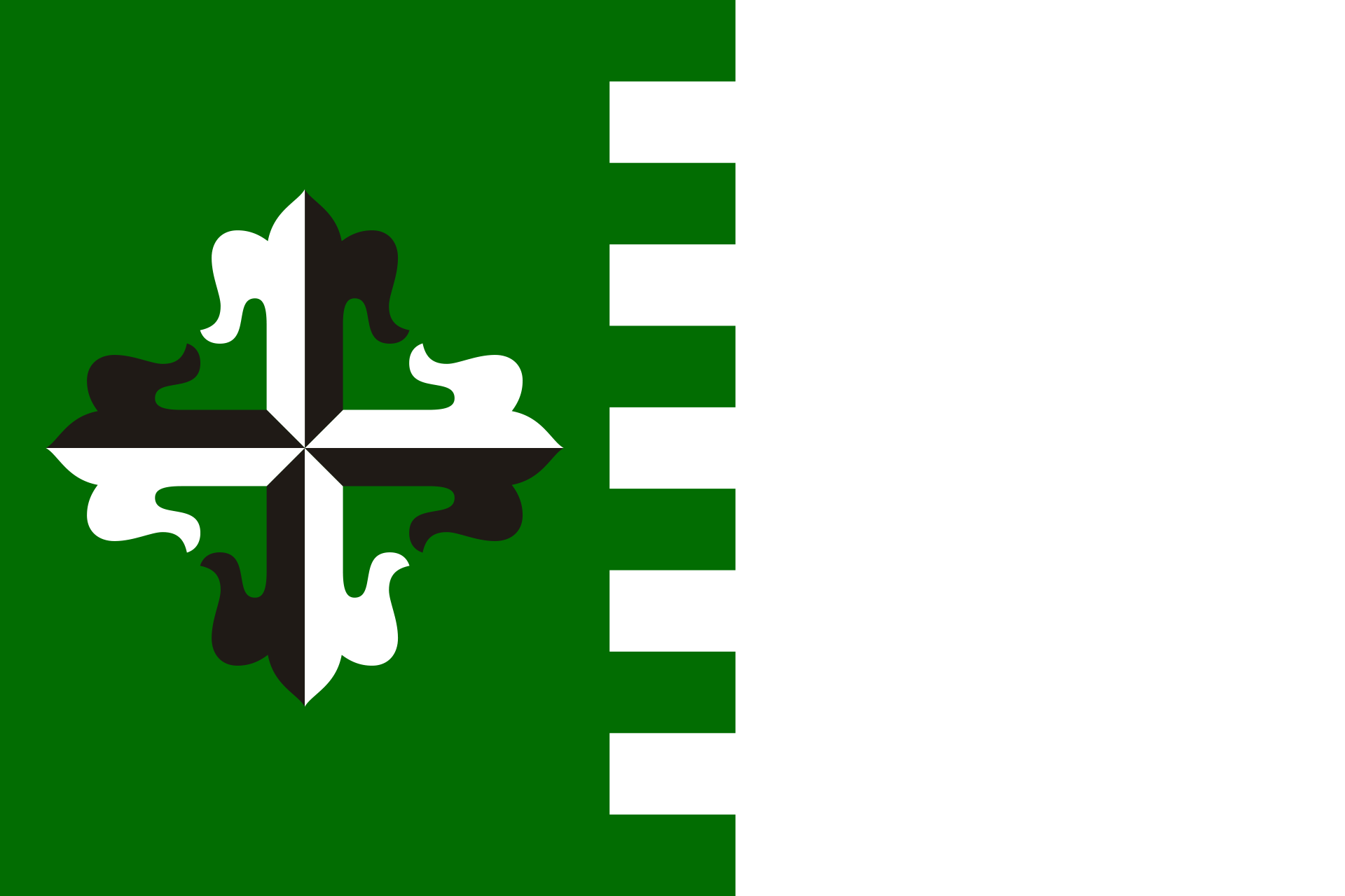
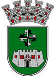
Symbols
Anthem: Guaynabo, pueblo querido,...
Education
There are 24 public schools in Guaynabo, education is handled by the Puerto Rico Department of Education. Guaynabo is also home of 2 colleges and universities.
Geography
Guaynabo is made up of 10 barrios (wards/districts):
- Camarones
- Frailes
- Guaraguao
- Hato Nuevo
- Mamey
- Pueblo
- Pueblo Viejo
- Río
- Santa Rosa
- Sonadora
Climate
Demographics *
Population
89,780
Land Area: 27.58 sq mi
Density: 3,233.50 per sq mi
Median Age: 47
Sex: 54% female
Economics **
$24,527
Median household income: $36,073
Puerto Rico: $21,058
Persons below poverty line: 25.3%
Housing, families and educational attainment *
Number of households
31,465
Housing units density:
1,523.3 (2013)
Persons per household: 2.69
High school grad or higher: 85.5%
Marital status: 40% married
* U.S. Census Bureau 2020 data, unless otherwise noted - Source: Quick Facts Puerto Rico.
** U.S. Census Bureau 2016-2020
Map References
Coordinates: 18.1144° N, 66.1681° W
Zip Code: 00965, 00966, 00968, 00969, 00970, 00971
Driving Distance from San Juan: 15.8 miles
Driving Time: 27 minutes


